Drowned land

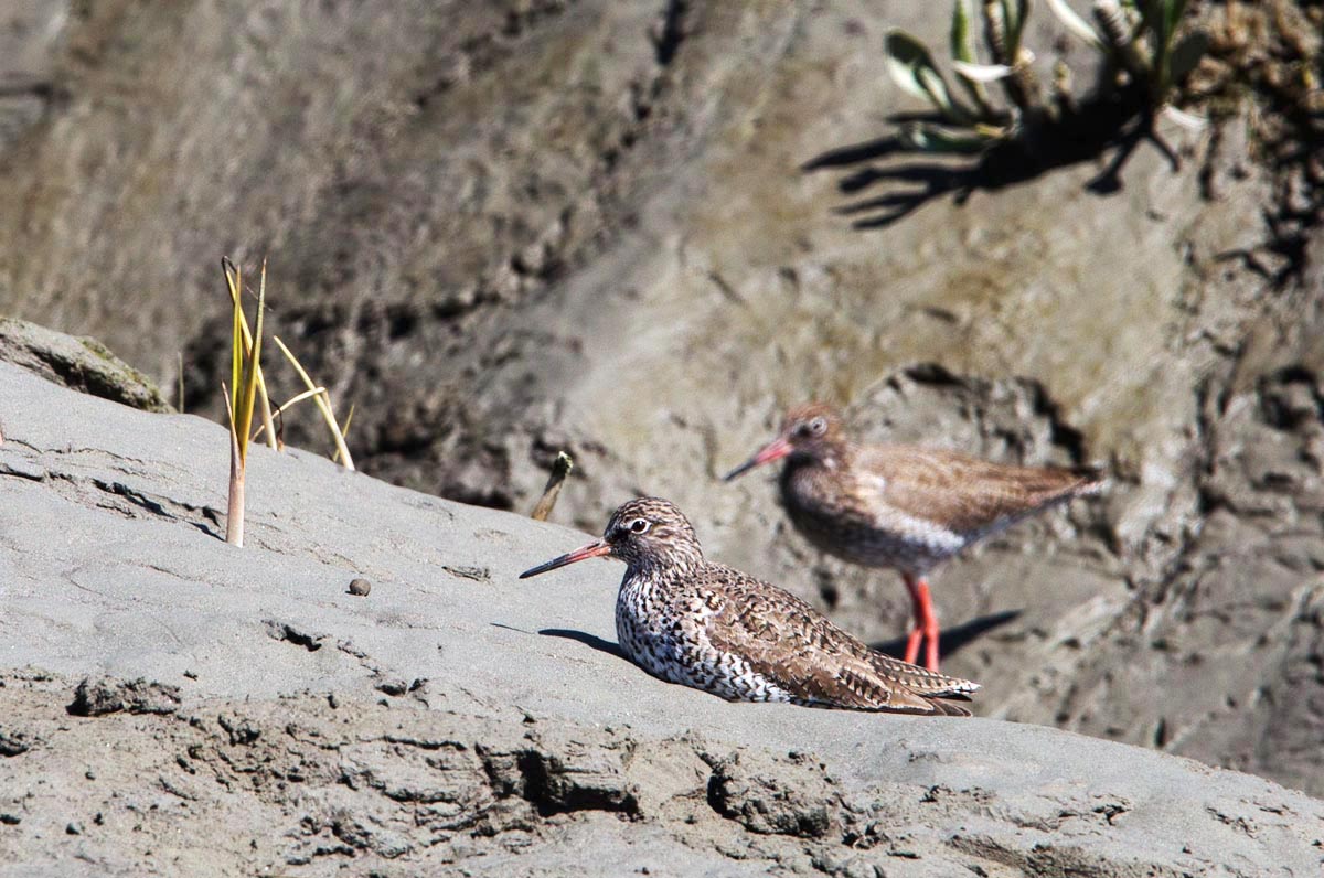
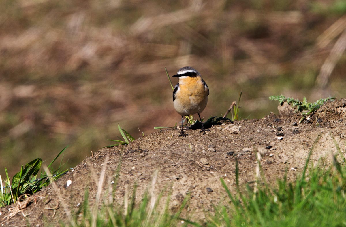
The Saeftinghe nature reserve is a large tidal marsh in the south of the Netherlands close to the Belgian border. The brackish intertidal area is located in the estuary of the Scheldt river where freshwater meets the salt waters of the North Sea. The tidal differences between high and low tide are the biggest in the Netherlands. The reserve offers a breeding area for Redshanks, Bluethroats, Marsh Harriers and many more birds. Saeftinghe was a medieval village, built behind seawalls when land was claimed from the sea. But in the 16th century, the seawalls were breached when the Dutch wanted to prevent the Spanish from reaching Antwerp. The area flooded and the sea reclaimed the land.

Photo of Redshanks, Vedronken Land van Saeftinghe, the Netherlands
Redshanks
Photo of nature reserve Verdronken Land van Saeftinghe, the Netherlands
.
Photo of nature reserve Verdronken Land van Saeftinghe, the Netherlands
.
Photo of a Redshank, Verdronken Land van Saeftinghe, the Netherlands
Redshank
Photo of Avocets, Verdronken Land van Saeftinghe, the Netherlands
Avocets
Photo of a Bluethroat, Verdronken Land van Saeftinghe, the Netherlands
Bluethroat
Photo of nature reserve Verdronken Land van Saeftinghe, the Netherlands
.
Photo of a Wheatear, Verdronken Land van Saeftinghe, the Netherlands
Wheatear
Photo of a Redshank, Verdronken Land van Saeftinghe, the Netherlands
Redshank
Photo of nature reserve Verdronken Land van Saeftinghe, the Netherlands
In the background, the nuclear plant of Doel in Belgium is visible.

One thought on “Drowned land

Leave a Reply

Fill in your details below or click an icon to log in:

WordPress.com Logo

You are commenting using your WordPress.com account. Log Out /  Change )

Facebook photo

You are commenting using your Facebook account. Log Out /  Change )

Connecting to %s